
From Survey to Surveillance We Cover It All Powering industries with next-gen drone technology across mapping, inspection, and logistics.
From Survey to Surveillance We Cover It All Powering industries with next-gen drone technology across mapping, inspection, and logistics.
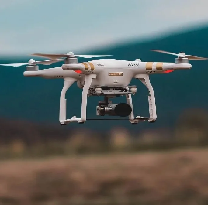
Drone Inspection Services
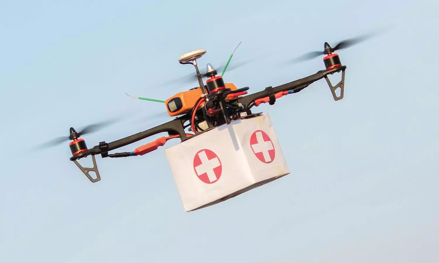
Our drone inspection services provide high-resolution, real-time aerial visuals for maintenance, surveillance, and reporting. These services eliminate the need for risky manual inspections and significantly reduce time and cost.
Industries Served:
- Solar Panel Farms
- Wind Turbines
- Cell Towers
- Power Lines and Grids
Benefits of Drone Inspection Services:
- Early fault detection
- Reduced downtime and risk
- Improved maintenance planning
- Cost-effective data collection
Aviate X ensures each inspection is carried out by a certified drone pilot using DGCA-approved technology.
Drone Surveying and Mapping
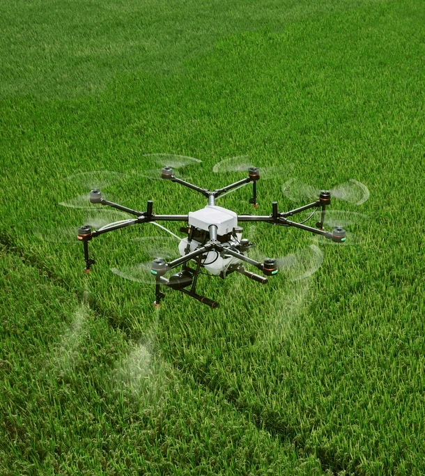
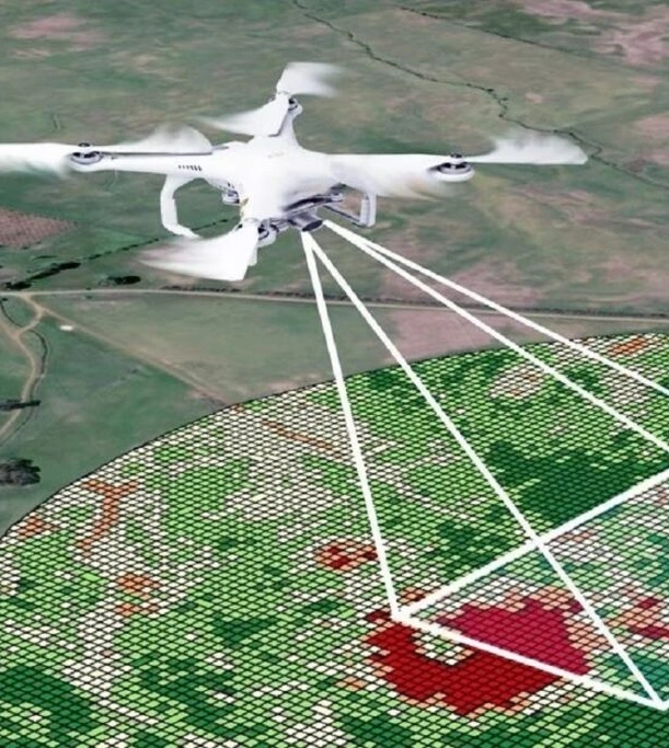
Aviate X offers precise drone surveying and mapping services for sectors like agriculture, construction, and land development. Our high-resolution topographic maps and models assist in faster project execution and improved decision-making.
Applications:
- Land surveys
- Agricultural field mapping
- Construction site analysis
- Boundary verification and GCP integration
Deliverables:
- Orthomosaic maps
- 3D terrain models
- NDVI maps
- Contour lines and elevation profiles
With our drone mapping services, clients benefit from data accuracy, speed, and minimal ground disruption
Aerial Photography and Videography
We provide premium aerial photography and videography services using 4K-resolution drones operated by certified professionals. Whether it's for personal events or commercial promotions, our drone media solutions bring unmatched visual impact.
Ideal For:
- Real estate listings and walkthroughs
- Weddings and events
- Resort, hotel, and tourism promotions
What You Get:
- Stabilized drone footage
- Cinematic shots and angles
- Raw and edited formats
- Expert planning and drone pilot coordination
Our team ensures compliance with all aerial safety regulations to deliver secure and stunning content.
Drone Assembly Certification Course
Learn how to build a drone from scratch with our drone assembly course. Understand drone components, wiring, ESC calibration, and final test flying. This course is perfect for engineers, hobbyists, and startup builders.
Topics Covered:
- Drone frame and body selection
- Assembling ESCs, motors, and props
- Wiring and flight controller setup
- Final assembly and first flight test
After successful completion, students receive a drone assembly certificate recognized by industry partners.
Drone Repair Course
Our drone repair course trains students in hardware and software troubleshooting. Participants learn fault diagnosis, firmware flashing, motor testing, GPS recovery, and emergency failsafe systems.
You Will Learn:
- Fixing GPS, battery, and connectivity issues
- Repairing sensors and camera systems
- Software updates and troubleshooting
Hands-on training ensures you're ready to handle real-world drone repair scenarios confidently.
Drone Maintenance Course
The drone maintenance course focuses on extending drone lifespan through pre- and post-flight care. It covers best practices in storage, battery management, motor cleaning, and firmware health checks.
Maintenance Modules Include:
- Battery storage and discharge protocols
- Propeller and ESC maintenance
- Firmware and controller sync
- Emergency safety routines
This course is highly beneficial for commercial drone pilots and drone service technicians.
Services
Government Drone Schemes We Align With
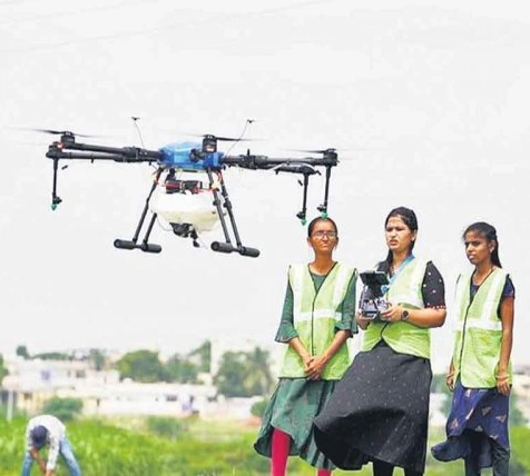
Kisan Drone Scheme
Boosting India’s Agri-Tech Workforce
This PM initiative encourages the adoption of drones for agriculture—especially for spraying, surveillance, and mapping.
- Subsidy Up to 75% for eligible farmers & FPOs
- Encourages drone pilot training, certified by DGCA
- Ideal for rural youth, agri-tech startups & agri-graduates
Namo Drone Didi Yojana
Empowering Women Through Drones
Launched by the Government of India to enable 15,000 Self Help Groups (SHGs) to operate and rent drones for agricultural use
- 80% subsidy up to ₹8 lakh per SHG
- 15-day training program: 5 days pilot + 10 days agri-ops
- Support for SHG-led drone rental services
SVAMITVA Yojana
Land Mapping with Drones for Rural India
A flagship scheme for property mapping in 6.6 lakh villages across India using drone tech.
- 3.1+ lakh villages surveyed so far
- Massive demand for drone pilots + GIS professionals
- Focus on transparency, rural planning, and ownership rights
PLI Scheme for Drones & Components
Atmanirbhar Bharat through Drone Manufacturing
To strengthen India’s UAV manufacturing ecosystem and reduce dependency on imports.
- Financial support for drone startups
- Encouragement for skilled drone technicians
- Govt-banned imports of non-defense drones to boost local production
Why Work With Us

Innovation
Embracing cutting-edge drone technology

Safety
Committed to DGCA standards and best practices

Skill
Focused on practical, job-oriented learning

Future Readiness
Training students for tomorrow’s drone-powered world